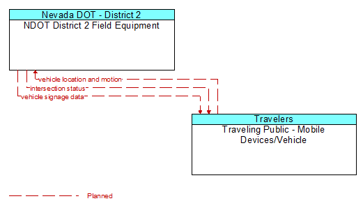
Interface: NDOT District 2 Field Equipment - Traveling Public - Mobile Devices/Vehicle
Architecture Flow Definitions
intersection status (Planned) Applicable ITS Standards
Current signal phase and timing information for all lanes at a signalized intersection. This flow identifies active lanes and lanes that are being stopped and specifies the length of time that the current state will persist for each lane. It also identifies signal priority and preemption status and pedestrian crossing status information where applicable.
vehicle location and motion (Planned) Applicable ITS Standards
Data describing the vehicle's position, heading, speed, acceleration, transmission, steering wheel angle, braking status, size information, and trajectory.
vehicle signage data (Planned) Applicable ITS Standards
In–vehicle signing data that augments regulatory, warning, and informational road signs and signals. The information provided would include static sign information (e.g., stop, curve warning, guide signs, service signs, and directional signs) and dynamic information (e.g., current signal states, grade crossing information, local traffic and road conditions, detours, advisories, and warnings).