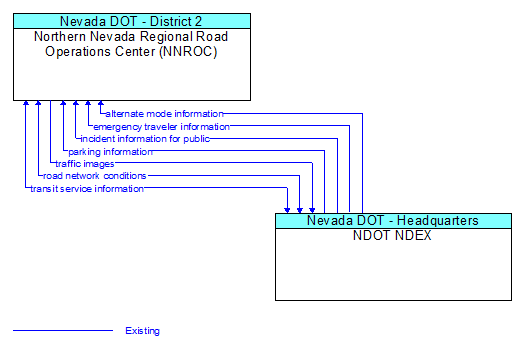
Interface: Northern Nevada Regional Road Operations Center (NNROC) - NDOT NDEX
Architecture Flow Definitions
alternate mode information (Existing)
Schedule information for alternate mode transportation providers such as air, ferry, and passenger–carrying heavy rail.
emergency traveler information (Existing)
Public notification of an emergency such as a natural or man–made disaster, civil emergency, or child abduction. This flow also includes evacuation information including evacuation instructions, evacuation zones, recommended evacuation times, tailored evacuation routes and destinations, traffic and road conditions along the evacuation routes, traveler services and shelter information, and reentry times and instructions.
incident information for public (Existing)
Report of current desensitized incident information prepared for public dissemination.
parking information (Existing)
General parking information and status, including current parking availability.
road network conditions (Existing) Applicable ITS Standards
Current and forecasted traffic information, road and weather conditions, and other road network status. Either raw data, processed data, or some combination of both may be provided by this flow. Information on diversions and alternate routes, closures, and special traffic restrictions (lane/shoulder use, weight restrictions, width restrictions, HOV requirements) in effect is included.
traffic images (Existing) Applicable ITS Standards
High fidelity, real–time traffic images suitable for surveillance monitoring by the operator or for use in machine vision applications. This flow includes the images and meta data that describes the images.
transit service information (Existing)
Transit service information including routes, schedules, and fare information as well as dynamic transit schedule adherence and transit vehicle location information.