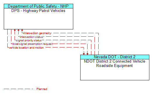
Interface: DPS - Highway Patrol Vehicles - NDOT District 2 Connected Vehicle Roadside Equipment
Architecture Flow Definitions
intersection geometry (Planned) Applicable ITS Standards
The physical geometry of an intersection covering the location and width of each approaching lane, egress lane, and valid paths between approaches and egresses. This flow also defines the location of stop lines, cross walks, specific traffic law restrictions for the intersection (e.g., turning movement restrictions), and other elements that support calculation of a safe and legal vehicle path through the intersection.
intersection status (Planned) Applicable ITS Standards
Current signal phase and timing information for all lanes at a signalized intersection. This flow identifies active lanes and lanes that are being stopped and specifies the length of time that the current state will persist for each lane. It also identifies signal priority and preemption status and pedestrian crossing status information where applicable.
local signal preemption request (Planned) Applicable ITS Standards
Direct control signal or message to a signalized intersection that results in preemption of the current control plan and grants right–of–way to the requesting vehicle.
signal priority status (Planned) Applicable ITS Standards
In response to a request for signal priority, this flow indicates the status of the priority or preemption request.
vehicle location and motion (Planned) Applicable ITS Standards
Data describing the vehicle's position, heading, speed, acceleration, transmission, steering wheel angle, braking status, size information, and trajectory.