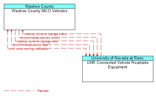
Interface: Washoe County MCO Vehicles - UNR Connected Vehicle Roadside Equipment
Architecture Flow Definitions
environmental sensor data (Planned) Applicable ITS Standards
Current road conditions (e.g., surface temperature, subsurface temperature, moisture, icing, treatment status) and surface weather conditions (e.g., air temperature, wind speed, precipitation, visibility) as measured and reported by fixed and/or mobile environmental sensors. Operational status of the sensors is also included.
environmental sensors control (Planned) Applicable ITS Standards
Data used to configure and control environmental sensors.
roadway dynamic signage data (Planned) Applicable ITS Standards
Information used to initialize, configure, and control dynamic message signs. This flow can provide message content and delivery attributes, local message store maintenance requests, control mode commands, status queries, and all other commands and associated parameters that support remote management of these systems.
roadway dynamic signage status (Planned) Applicable ITS Standards
Current operating status of dynamic message signs, highway advisory radios, or other configurable field equipment that provides dynamic information to the driver.
work zone warning notification (Planned) Applicable ITS Standards
Notification of a work zone emergency or safety issue. This flow identifies that a work zone emergency or safety issue has occurred so that warnings may be generated by more than one system in the work zone.